
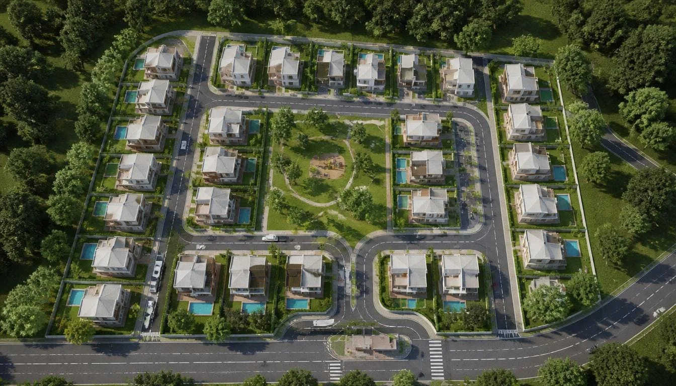
Aerial Site Renderings
Show the complete development from an elevated or bird's-eye camera angle, giving a clear read on layout, scale, and how the project sits within its plot.
SMA Archviz creates high-impact 3D site and master plan renderings that turn raw land blueprints into clear, scale-accurate visual developments. We transform technical CAD data, topography frameworks, and landscape plans into premium marketing assets that win project approvals.
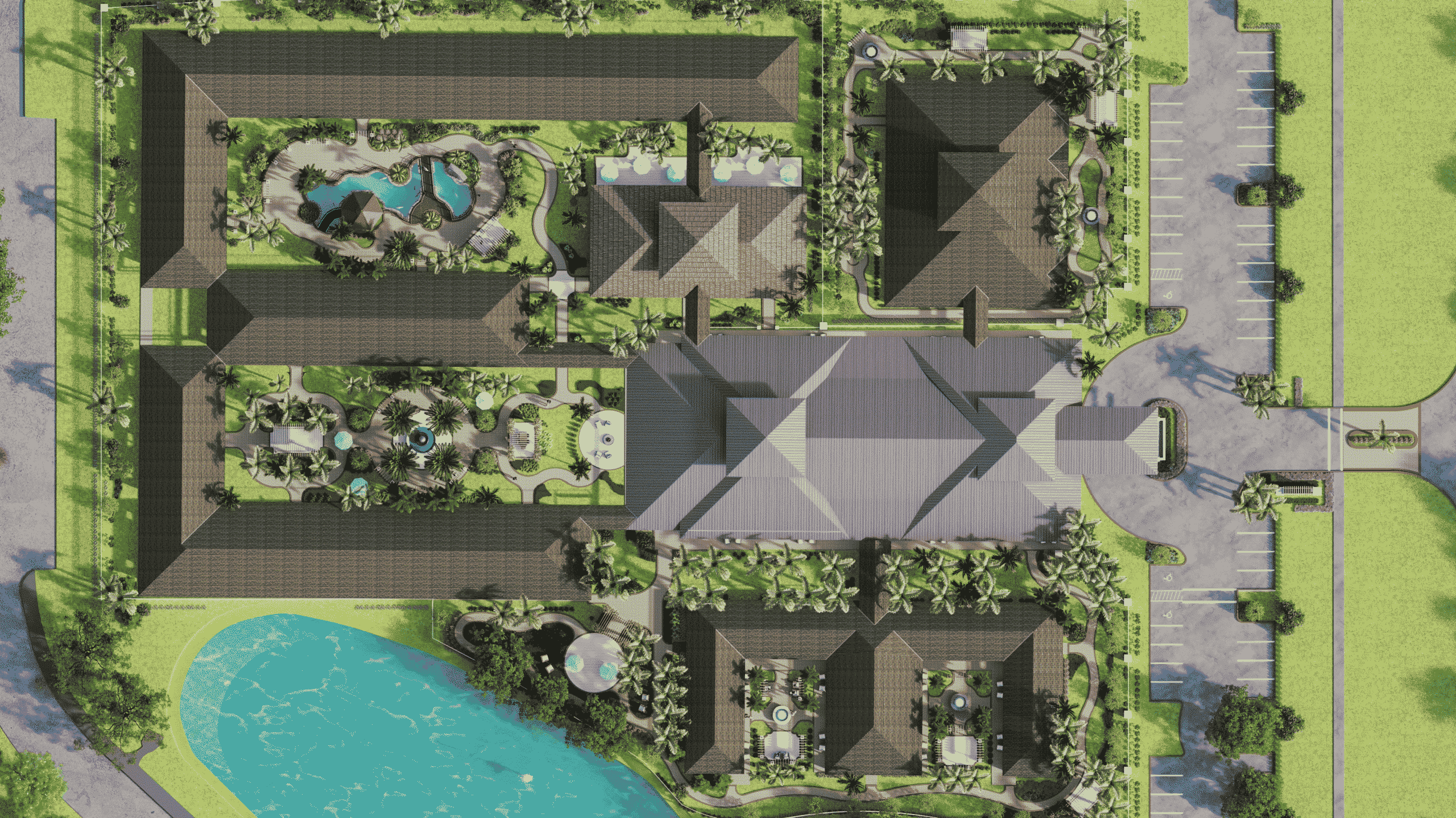
Visualizing how a massive new building fits into a real neighborhood is very hard for architects and developers. Without a clear, realistic picture, city planners might delay zoning approvals, investors might not understand the true size of the project, and buyers cannot picture what it would actually feel like to live there. This confusion often leads to expensive project delays.
SMA Archviz solves this problem by offering professional site plan rendering services that show your entire project layout perfectly within its actual environment. Our expert 3D artists and advanced rendering pipeline accurately model the real land shape, roads, and green spaces so you can present your project with complete confidence.
You get:
Beyond the building itself, we offer several ways to visualize a site depending on what needs to be shown, including the overall layout, the surrounding context, or how someone will actually experience the space on the ground.
Show the complete development from an elevated or bird's-eye camera angle, giving a clear read on layout, scale, and how the project sits within its plot.
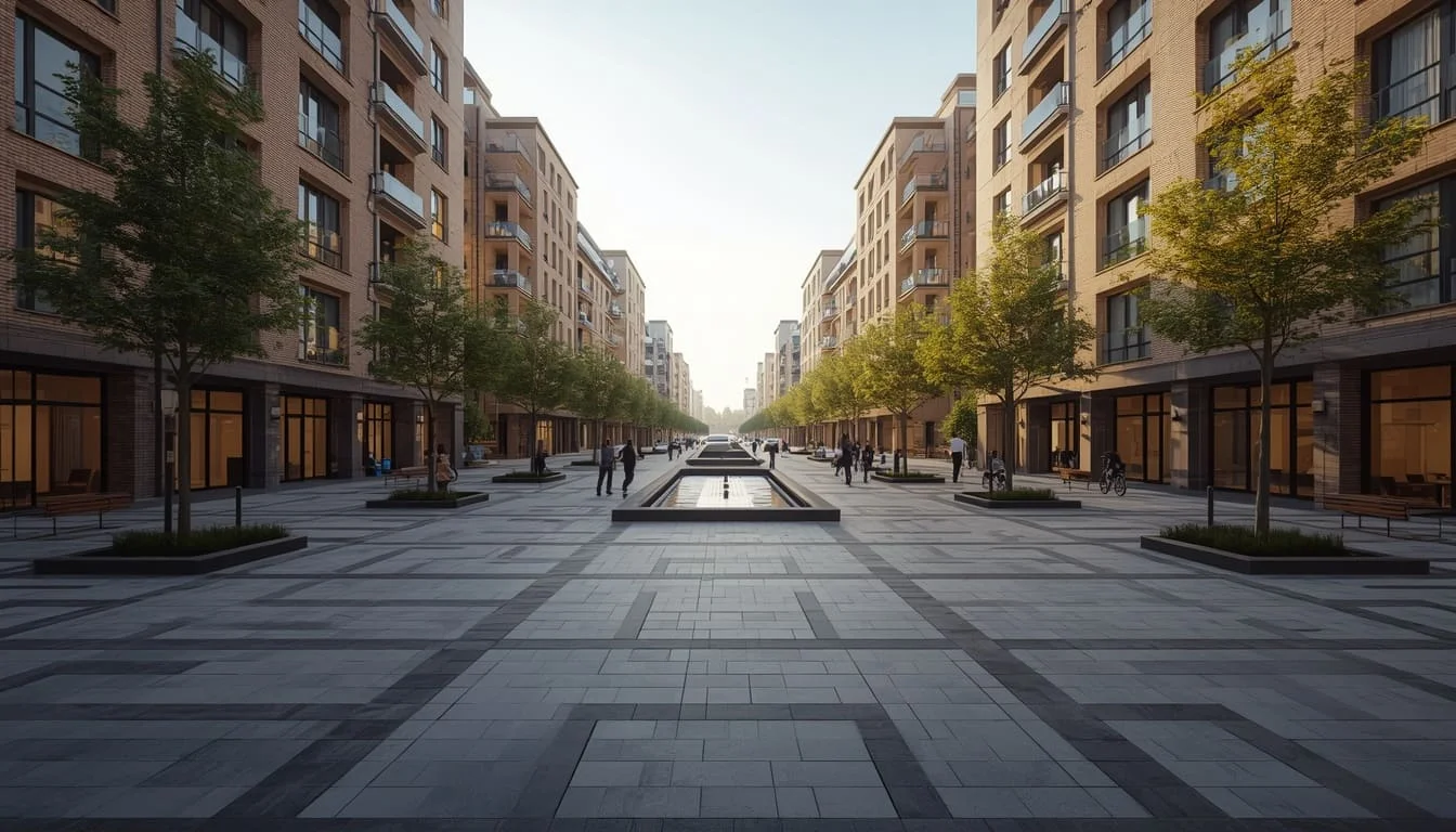
These renders capture how the building, landscape, access points, and surrounding environment come together from a human-eye-level view, showing the perspective a visitor or resident would actually experience.
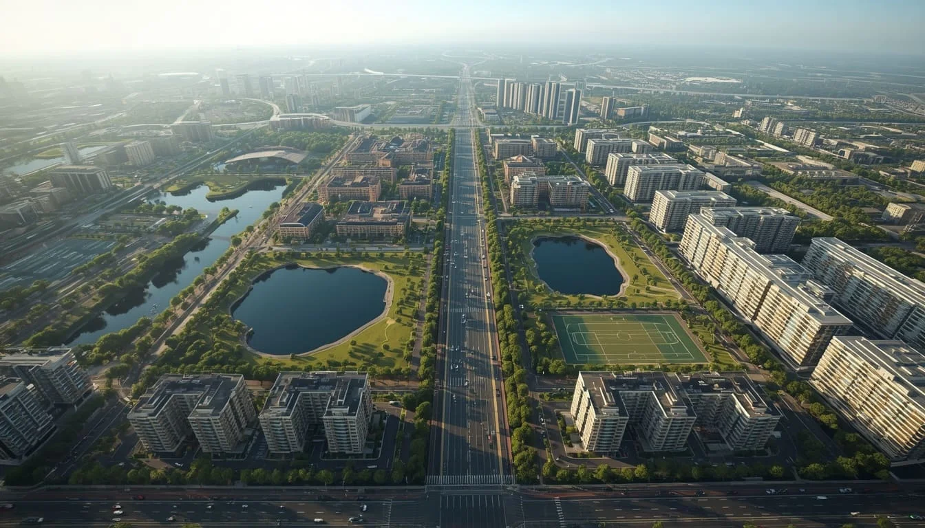
We offer clear visual breakdowns of large-scale master plans, showing roads, buildings, open areas, and development zones. Individual buildings within the plan can then be broken out into a focused 3D Exterior Rendering to show design details a wide master view won't capture.
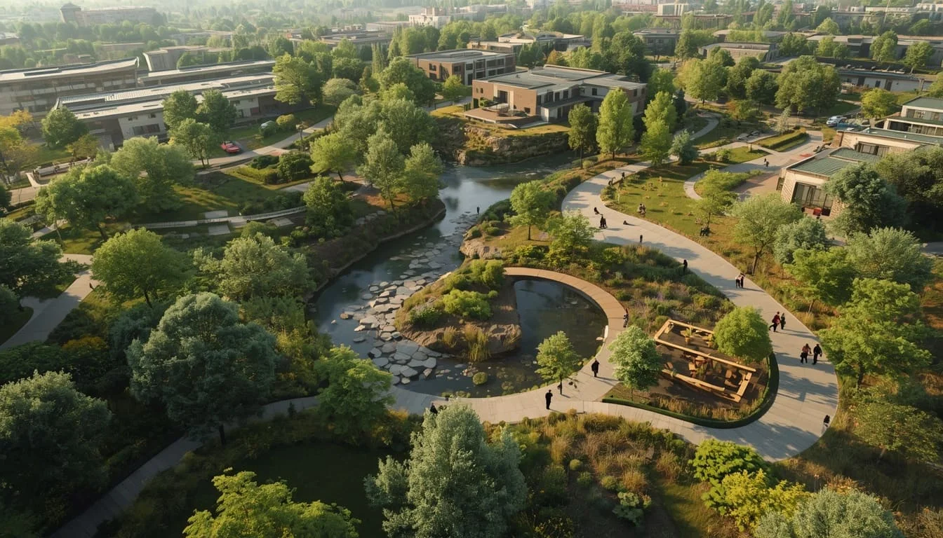
We combine architecture with planting, hardscape, pathways, outdoor furniture, and other elements through detailed landscape rendering, so the site feels complete rather than just a building on empty land.
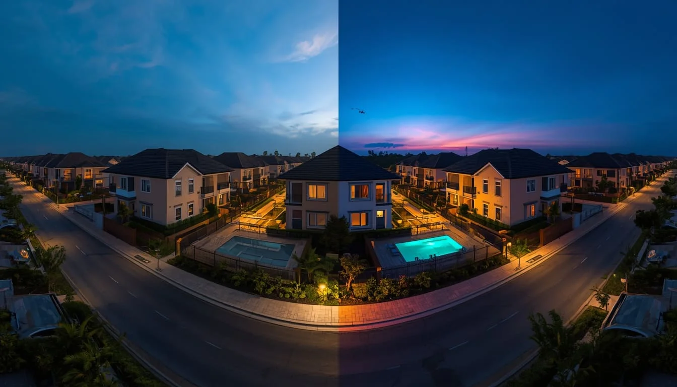
The same view can be rendered under different lighting conditions like daytime, sunset, or evening. This depends on how you want to market the project.
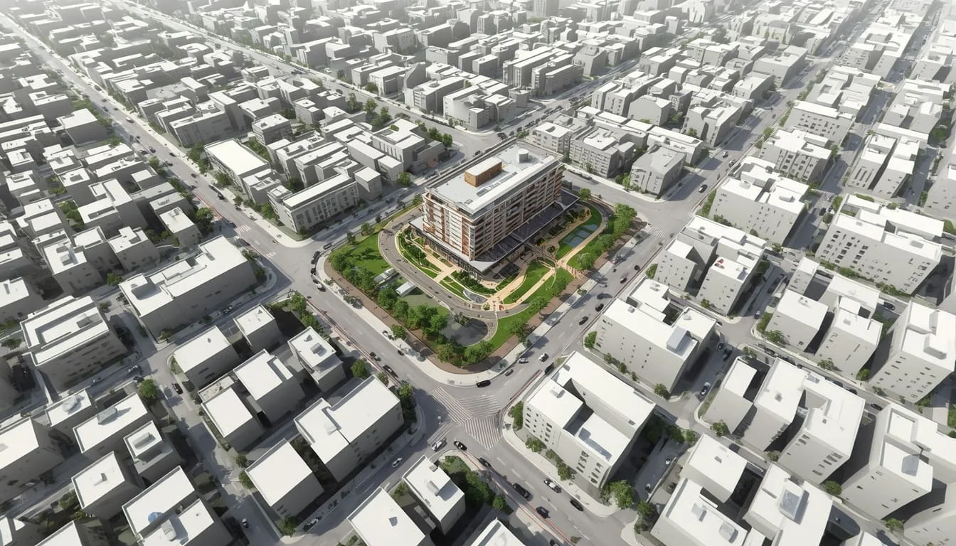
We also place the proposed development within its surrounding urban, suburban, or natural context, so viewers understand exactly where and how it fits in.
We customize our site plan rendering services to fit projects of any size, from residential rendering and single properties to expansive plot developments.
Housing societies, residential compounds, apartments, multi-family villa communities, luxury estates, and apartment complexes.
Office parks, corporate campuses, shopping centers, retail strips, and mixed-use commercial developments through detailed commercial rendering.
Hotels, vacation resorts, recreational parks, waterfront destinations, and outdoor restaurant properties.
Educational campuses, healthcare complexes, civic buildings, community centers, and municipal developments.
Mega-townships, urban renewal master plans, industrial zones, golf course communities, and large-scale multi-structure layouts.
When pitching a large-scale land development, your visual presentation can make or break the deal. A high-quality site plan rendering does not just show building placements; it sells a future lifestyle and neighborhood destination.
At SMA Archviz, we build every master plan visual to meet these premium commercial marketing standards.
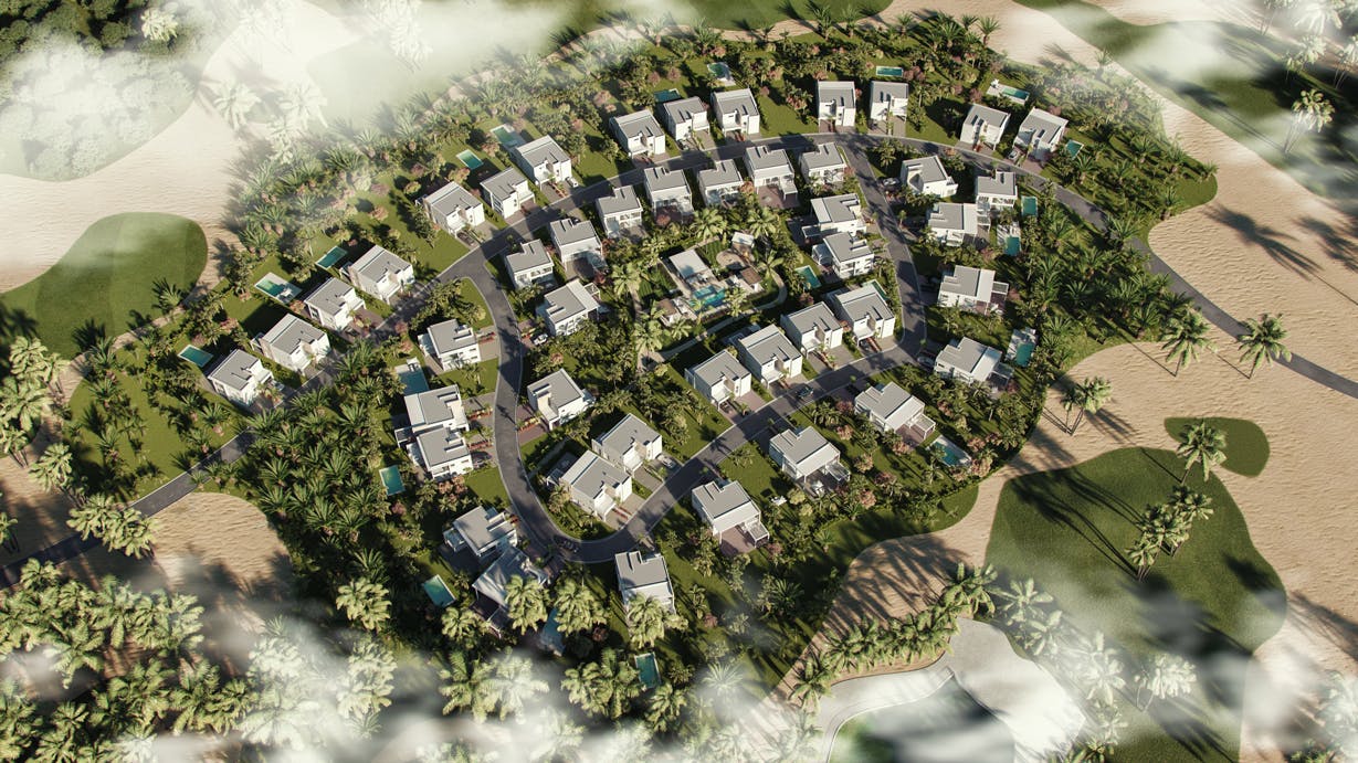
You will receive everything you need to pitch your project, secure approvals, and launch your marketing campaign immediately.
When you work with us, you get a team that knows how to make large-scale property plans look amazing. We focus on delivering high-quality visuals that help you close deals and present your vision with complete confidence.
We model the actual 3D topography and terrain elevations of your specific land plot rather than placing assets on a basic flat surface.
We show more than the building by connecting architecture with the surrounding site so the full development reads clearly in one image.
We scatter thousands of site-specific plants, trees, vehicles, and human cutouts for unmatched realism.
We design our renders to meet strict municipal zoning reviews while also serving as high-conversion sales materials for buyers.
Our high-performance workstations easily handle mega-scale developments, dense forest scattering, and complex road networks without losing crisp rendering detail.
We select aerial, eye-level, and contextual viewpoints based on what the project needs to communicate.
Our 3D artists create images suitable for developer presentations, property marketing, websites, brochures, and project launches.
We follow a clear step-by-step process to turn your raw land plans, architectural blueprints, and master plans into high-quality 3D visuals.
We review site plans, CAD files, architectural drawings, landscape plans, references, and required viewpoints to map out the entire project scope.
Next, we build the digital foundation by generating accurate site topography, road networks, and building masses directly from your layouts.
We then position virtual cameras to lock in the most strategic viewing angles, whether you need an expansive aerial viewpoint or a ground-level entrance view.
We apply real-world textures to the pathways and populate the site with dense, realistic vegetation, outdoor elements, and environmental details.
Following texturing, we set different solar positions to deliver daylight, dusk, or other requested lighting conditions and refine shadows.
Finally, we compute the optimized 3D graphics, apply your feedback, and deliver a polished, high-resolution site render ready for your marketing pitches.
Our team uses proven 3D visualization tools and workflows to turn complex site layouts into accurate, easy-to-understand renders.
Pricing varies according to site size, modeling complexity, number of buildings, landscape detail, surrounding context, number of views, and required output resolution.
|
Project / Scope Site |
Price per Image |
Included Revisions |
First Draft Timeline |
|
Residential Site |
$600 – $850 |
4 Rounds |
2–4 Working Days |
|
Commercial / Mixed-Use / Hospitality Site |
$750 – $1,500* |
5 Rounds |
4–5 Working Days |
|
Industrial Site |
$1,000 – $1,800 |
7 Rounds |
4–5 Working Days |
|
Community Development Site |
$1,000 – $2,500 |
7 Rounds |
4–5 Working Days |
We scope every project individually, so the best way to get an accurate cost and timeline is to share your project details with us.
We offer many different visual styles to perfectly match your project stage and target audience.
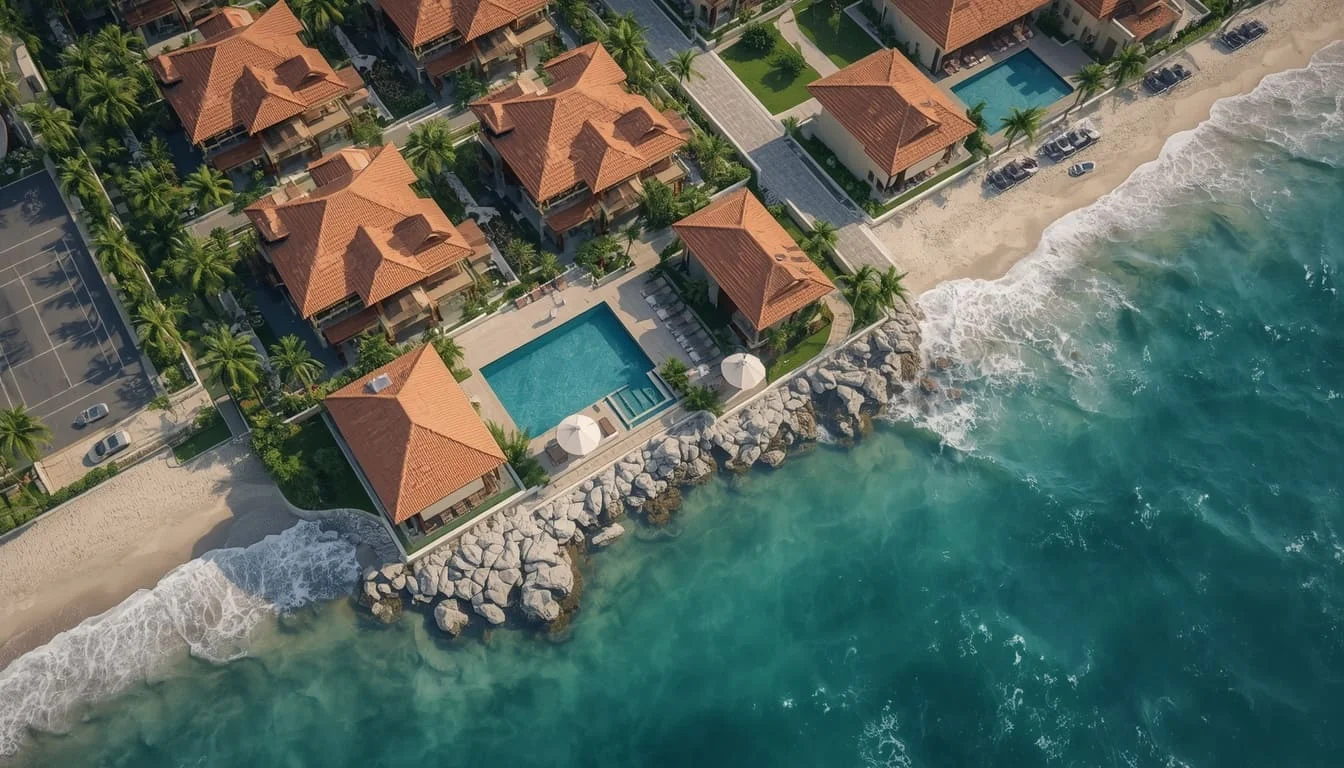
Hyper-realistic renders utilizing real-world textures, precise foliage physics, and accurate lighting, always captured from bird's-eye or aerial perspectives.
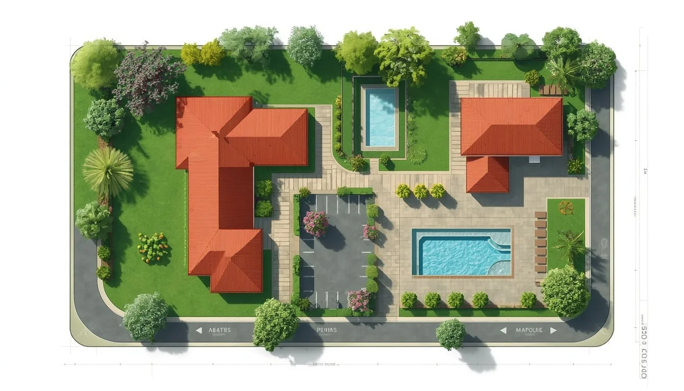
Flat, clean top-down layouts with clear color-coded zones for layout planning and initial pitches.
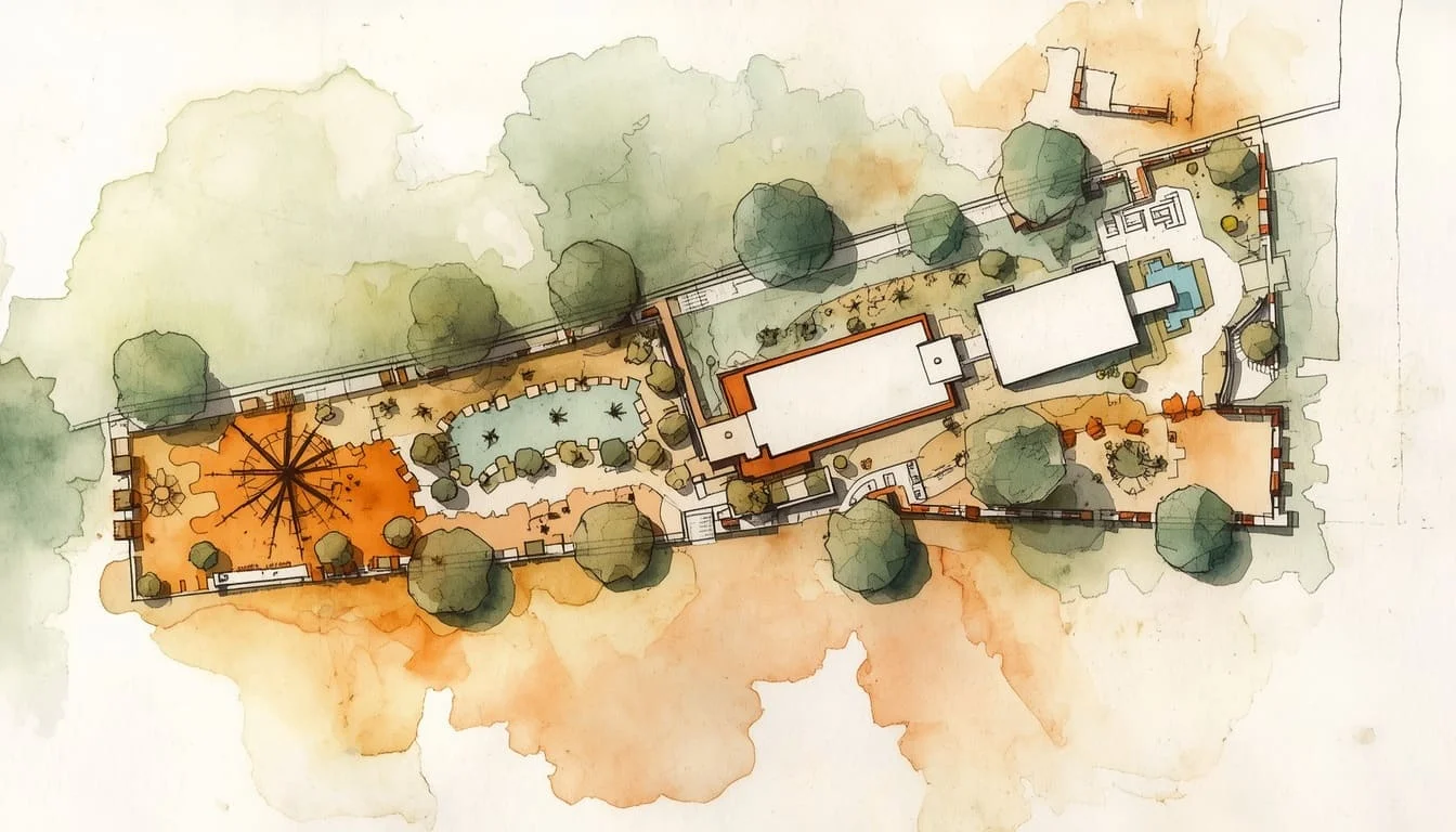
Soft edges and digitally painted trees that provide an artistic, organic feel to master plans.
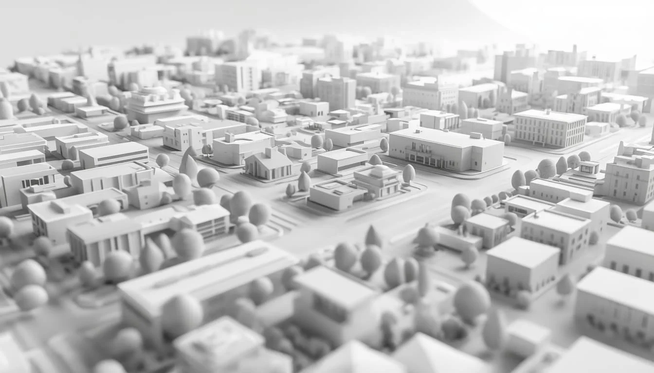
Monochromatic clay geometries focusing strictly on structural massing, spatial layouts, and sun-shadow behavior without material distractions.
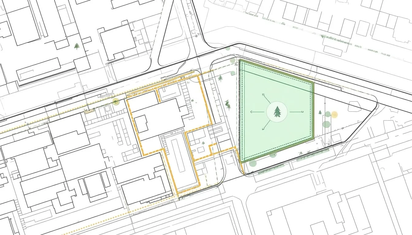
Abstract 3D visuals using clean linework and color overlays to highlight vehicle circulation, walking pathways, or specific zones.
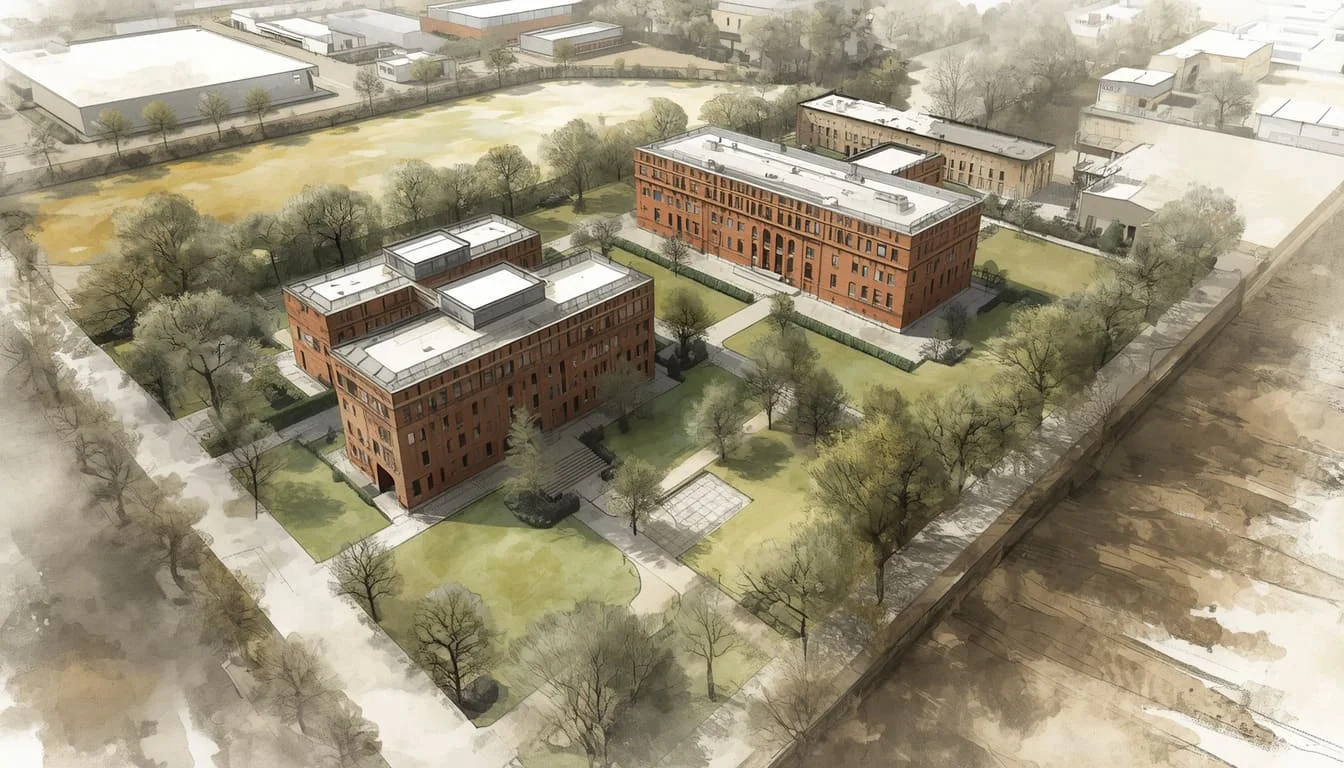
Combining clean vector lines from CAD software with rich textures and realistic plant assets for a semi-technical look.
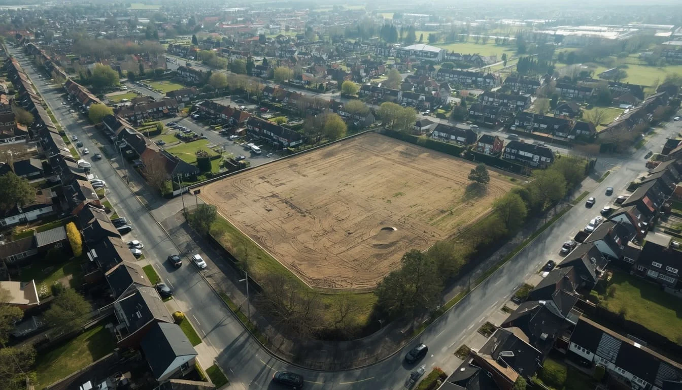
Integrating a 3D building or master plan model into real-world, high-resolution drone photography or satellite imagery.
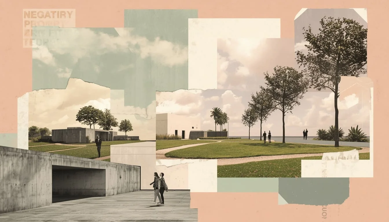
Combine stylized 3D geometry with cutout people, eclectic textures, and dramatic lighting to sell a "mood" or narrative rather than strict reality.
These styles reflect the range of what clients asked for most, not the limits of what we can do. If your project needs a different look, a custom style, or a mix of the above, we'll develop it around exactly what you're trying to show.
Take a look at our latest site plan rendering projects to see how we transform raw master plans and land plots into clear, high-impact developments.
|
Project Name |
State |
Scope |
Type |
|
Colbert's Landing |
FL |
Site Rendering Projects |
Community Development |
|
Lakeside Heritage |
FL |
Site Rendering Projects |
Multifamily Community Development |
|
Senior Housing Suite Apartments |
BC (Canada) |
Site Rendering Projects |
Senior Living Facilities |
|
Stumbo Road Pub Development |
OH |
Site Rendering Projects |
Community Development |
|
City Hall Park |
NY |
Site Rendering Projects |
Mixed Use |
A site plan rendering is a visual representation of a development that shows the building together with its surrounding context such as terrain, landscaping, roads, parking, and neighboring structures, rather than the building in isolation.
You should start a site render as soon as your 2D layout and building footprints are finalized. Starting early ensures you have visuals ready for city approvals, investor pitches, and early real estate marketing.
Yes. We routinely convert flat 2D site plans, CAD drawings, and layout blueprints into fully detailed 3D site visuals.
Yes. Planting, hardscape, outdoor furniture, and neighboring structures can all be included to place the project accurately within its context.
Timelines depend on site size, complexity, number of buildings, and number of views required. Send us your plans and tell us the deadline, and we'll confirm a specific timeline once we review your project details.
Yes. Our site renders are produced at marketing-ready quality for websites, brochures, presentations, and property launches.
Yes. We regularly work on master-planned communities involving multiple buildings, roads, and shared landscape zones.
Share floor plans, CAD files, SketchUp models, or even a quick sketch. We'll return a fixed quote and a clear delivery schedule, with no obligation.